Monday, June 20, 2011

Sunnyslope "S" Mountain

My company was asked to do a boundary survey and location map of "S" mountain in the Sunnyslope Village of Phoenix. After spending a few days surveying the boundary by myself, I got a chance to take my brother in law Michael up on the mountain to survey the "S".


Google Earth Lat/Long: 33°34'25.38"N,112°04'35.50"W

Wednesday, February 2, 2011

AZ SR 89 - Little Hell's Canyon

This January (2011), we began a project located 15 miles south of Ash Fork AZ. This portion of AZ SR 89 lies in the rolling juniper covered foothills southwest of Bill Williams mountain. What was originally the Prescott & Ash Fork Stage Coach Road, has only changed by the asphalt arming the same location. Closely skirted by the Prescott spur of the Santa Fe railroad, this area has a close and mostly undisturbed tie back to the foundation of Arizona itself.


The old SR 89 bridge closely paralleled by the current Santa Fe rail bridge over Little Hell's Canyon.

This area is at the headwaters of the Verde Valley and offers some amazing views.

Looking Northeast towards Bill Williams Mountain.

Having been originally surveyed by the U.S. General Land Office in 1884 and having been inducted into the Prescott & Kaibab National Forests, the area has laid untouched since that time. As surveyors, we expected to find the original stone survey monuments as well as bearing trees from the 1884 and subsequent 1910 surveys in pristine condition. We certainly did.


Original Stone Survey Monument with etchings over 100 years old.


Bearing Tree of the same vintage.

Only 3 miles in length this is a relatively small project for us, but we found ourselves wishing it was much longer.


Google Earth Lat/Long: 35°04'51.96"N,112°24'18.38"W

Monday, January 17, 2011

The Strangest of Sights.......

This past week I was tasked with staking the new Right of Way line for a portion of a new major freeway in the Valley. At the end of the day I began to recount all of the random places I found myself and things I saw. I decided it added up to one of the most multifarious days of surveying I can remember.


A Rose Farm


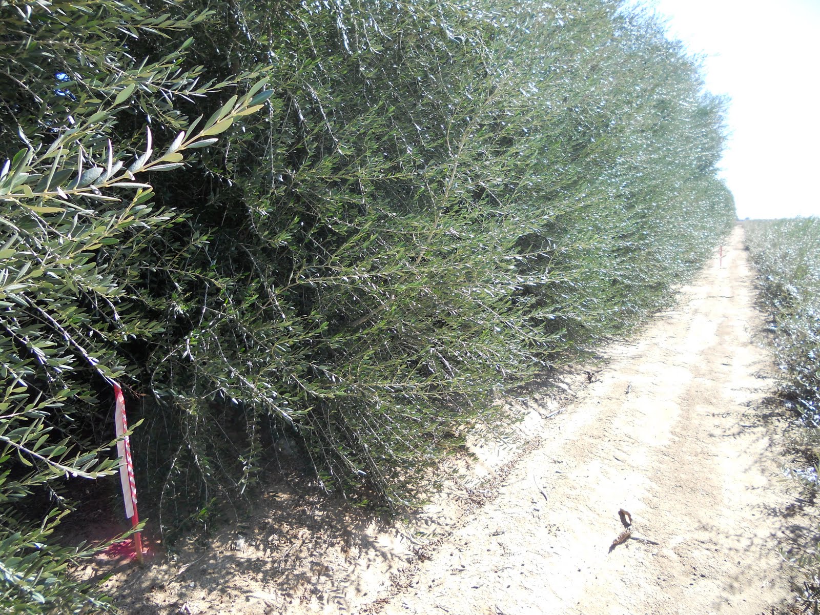
An Olive Tree Farm


A Palm Tree Farm


Low Flying Air Force Training Fighter Jets


And Yes, A Rhinoceros!


Google Earth Lat/Long: 33°33'11.50"N,112°25'06.55"W

Wednesday, December 15, 2010

AZ SR 78 - Jake's Corner... Finalized


This week, we set the final Right of Way monuments on SR-78 in Greenlee County, AZ. This brings to a close a project we have worked on since 2005. I'm very glad to have worked on this project as it brought me to another remote and extremely scenic area of Arizona. Only a very small portion of Highway 78 actually lies in Arizona as it crosses into New Mexico shortly after its beginning at 3-Way.


The project was nestled into a small basin atop this mountain (Big Lue Mountain) that was filled with Ponderosa Pine, Alligator Juniper, and small cacti all mashed together in a micro-climate caught between desert and forest.
Only a mile long, this project posed several new survey challenges and gave us a few stories that have become GMTS lore.


Google Earth Lat/Long: 33°04'20.14"N,109°04'57.89"W

Friday, December 10, 2010

Fall Colors In Phoenix....

Yes, mid- December is fall here in the desert. The colors are changing and the birds of the North have migrated here for the winter.


I spent this past week setting the final ADOT Right Of Way monuments for the Loop 101 - Loop 202 Interchange in Tempe.


We set a 24" long steel hex rod with a 3" aluminum cap for these.


I also got a chance to test the timer on the new digital camera.


Google Earth Lat/Long: 33°26'02.58"N,111°53'27.19"W

Monday, November 8, 2010

It's About The Evidence

While walking through a large drainage basin near the intersection of two major Phoenix freeways, we stumbled upon this little number. Number 9mm that is. It appeared to have been ditched out the window of a car from the interchange. I reported it to the local authorities and am hoping that it breaks the case wide open. Nobody except a surveyor looking for a shorter way to walk to the next boundary monument would have ever crossed this location and the pistol may have never been discovered.

Monday, September 27, 2010

AZ SR 95 - HOLIDAY HARBOUR

Surveying a portion of AZ State Route 95 North of the town of Parker, we encountered steep mountains, thick brush and high temps. The large cliffs and the Colorado River make for a striking landscape along this project. Thanks to a couple saws and a machete we were able to get all the monuments set.


Google Earth Lat/Long: 34°15'45.64"N,114°07'45.71"W